| |||
|
Poole to Exmouth (16 to 22 June 2006) South Devon (22 to 27 June 2006) Cornwall (27 June to 7 July 2006)
|
Oxford to Poole, 9 to 16 June 2006 | ||
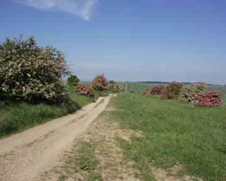
| On a hot June day I set off from my home on the western edge of Oxford over Boar's Hill to Abingdon. I was soon walking on paths I had never walked before - it's odd how you walk all over the world and ignore good walking country on your doorstep. From Abingdon I followed the Thames Path downstream to Culham, then took minor roads and footpaths to Steventon and West Hendred. A steep climb from West Ginge put me on the Ridgeway, where I turned right for the youth hostel spectacularly sited above Wantage.
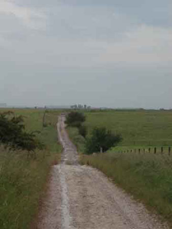
Day 3 was going to be a long day, so I took a short cut to the end of the Ridgeway National Trail at Overton Down, through Rockley and past the sarsen stones on Fyfield Down. I have walked the Ridgeway several times before, and wondered where the track on the other side of the A4 led - still marked Ridgeway on the map. So this was the day I found out. The track climbed up to the Wansdyke, a massive ancient structure, then down to the small twin villages of Alton Priors and Alton Barnes and the welcome pub at Honeystreet. Then another steep climb up onto Salisbury Plain, followed by a wade through nettles (well the map said it was a byway) to the B&B at Enford. Walking in central Wiltshire is
complicated by the army presence. I headed down a green lane in the direction
of Stonehenge, but I was out of luck. Today was a day for wargames on Salisbury
Plain, so I had to divert down the Avon valley to Durrington. Past Larkhill, Stonehenge
appeared on the horizon. Next morning I joined the Avon Valley Path in the cathedral close at Salisbury. The path led across the downs of south Wiltshire to Downton, then across the border to Hampshire. Across the border in Hampshire the path improved, and led through small villages on the edge of the New Forest to Fordingbridge. On Day 6 I followed the valley south to the hamlet of Turmer, stuck in a time-warp where the farmers still use horses and there are no modern roads. The path then meandered in and out of the New Forest and across river meadows to Ringwood and Christchurch. The Avon Valley Path ended at Christchurch Priory, from where there was a short section of pavement pounding to the coast at Southbourne. I found a clifftop guest house with a fine view of the sea from the Isle of Wight to Swanage. Next day I followed the cliff to Boscombe and Bournemouth, then the promenade and beach to the ferry at Sandbanks.
| |||

 It
was strange to approach such a well-known place along a deserted track, briefly
join the tourist hordes, then back to the green lane that Tess of the d'Urbervilles
must have taken.